Drone Survey
Leading the way in technology.
Drone Survey
Leading the way in technology.
ABOUT PRECISE SURVEYS
Focused on Technology
Precise Surveys provides professional Land Surveying and Mapping services to residential, commercial, and public markets throughout Australia. We provide services for a large range of customers including local property owners, real estate developers, architects, engineers, medium/large construction projects.
- AERIAL SURVEYING
- TERRESTRIAL LASER SCANNING
- TRADITIONAL SURVEYING
- ISO 9001:2015 compliant

Our Vision
Our vision is to be Australia’s leader in providing surveying and geospatial solutions that exceed our clients’ expectations.
EXPERIENCE
Our Projects
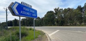
Main Roads / Keslake
Apple Street
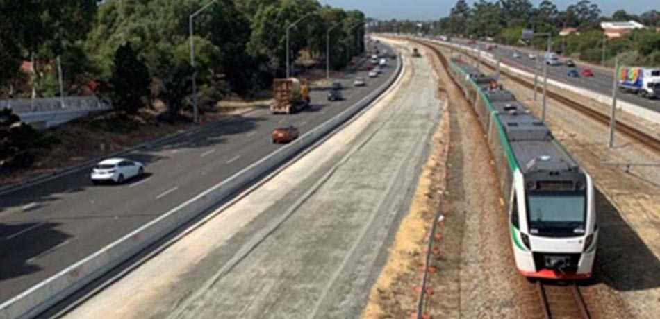
H2HJV
Hodges to Hepburn Fwy widening

Newest Alliance
Thornlie Cockburn Link
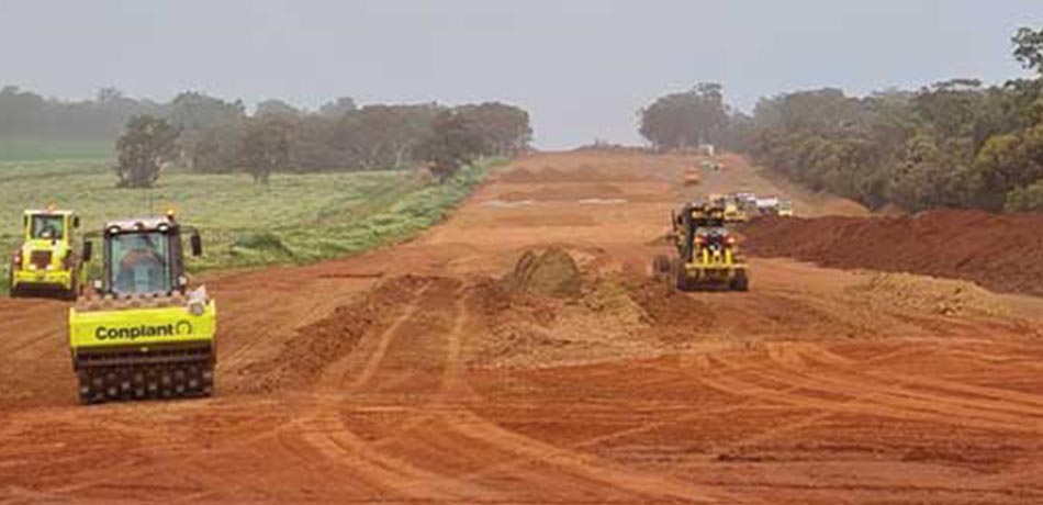
Garli
Bindoon North

Newest Alliance
Yanchep Rail Extension
Main Roads / Keslake
Apple Street

H2HJV
Hodges to Hepburn Fwy widening

Newest Alliance
Thornlie Cockburn Link

Garli
Bindoon North

Newest Alliance
Yanchep Rail Extension
SERVICE
Explore What We Offer
TERRESTRIAL LASER SCANNING
Terrestrial Laser scanners are becoming increasingly popular for their many benefits and use cases when applied to the construction and engineering industry.
AERIAL SURVEYING
Precise Surveys are one of WA’s industry leaders in using Unmanned Aerial Vehicles (UAV’s) to provide a variety of solutions to meet our clients needs.
TRADITIONAL SURVEYING
Our professional team has years of traditional survey experience, ensure we are capable of completing all of your job requirements.
TESTIMONIAL
What Our Clients Say
This type of quality footage is also positively impacting our communications with the community, helping us secure more click throughs in our digital mail-outs and higher engagement on our social channels.
You continuously go above and beyond for us and we just wanted you to know how appreciative we are. Looking forward to working together to get some awesome footage of the Green Bridge beam lifts!
